Overview of Bomi County
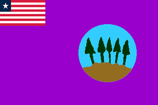
Flag of Bomi County
Photo Credit: Related Documents
|
Bomi is a county in the northwestern portion of the West African nation of Liberia. One of 15 counties that comprise the first-level of administrative division in the nation, it has four districts. Tubmanburg serves as the capital with the area of the county measuring 1,942 square kilometres (750 sq mi). As of the 2008 Census, it had a population of 82,036, making it the twelfth most populous county in Liberia. The superintendent of Bomi is Samuel Brown.
Bomi is bordered by Grand Cape Mount County to the west, Gbarpolu County to the north, Montserrado County to the southeast, and the Atlantic Ocean to the south.
Districts
Bomi is divided into four districts:
- Dewoin District
- Klay District
- Mecca District
- Senjeh District
Geography and demographics
Bomi has an area of 755 square miles (2,000 km2) and a density of 36.6 persons per sq. mile.